An educational and valuable experience
Written by Steven DeRoy
I discovered the power of networking when I attended a very informal North West Tribal GIS User Group meeting back in April, 2002. An e-mail was forwarded to me with an opening line that stated “Time once again to get together with your other mapping peers in Indian Country and talk about GIS.” Having been with Ecotrust Canada less than a month at this point and not being completely familiar with the organization and my program, I took the trip with my co-worker Ian Scott, Georgia Basin Coordinator for Ecotrust Canada.
After making the proper arrangements, Ian and I set out on our first road trip together. We didn’t really know a lot about each other, and 3 hours together in a compact car gave us time to cover topics such as life, travel, jobs and sports. Braving a rain and mild wind storm, we arrived in Auburn, Washington and made our final resting place before the next day’s meeting.
|
|
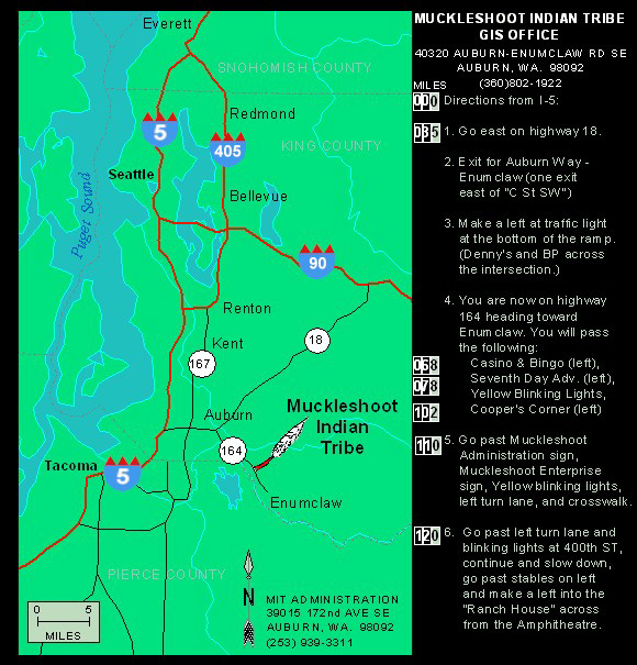
When we showed up at the Muckleshoot Tribal Office, we found that a few people had arrived before us. They greeted Ian and me with big smiles and handshakes and welcomed us to their humble meeting. Everyone was very friendly, knew each other from past meetings and there seemed to be a sense of excitement in the air. Tom Curley, facilitator for the NW Tribal GIS User Group, opened the meeting and introductions commenced around the large conference room table. GIS specialists and managers representing 8 tribes from the various towns scattered across Washington State were in attendance.
What impressed me about this user group was the fact that they had on the agenda only a few topics of discussion. The floor was wide open for people to discuss projects they had been working on, new data that might be available, hardware and software issues, and any other topic you can think of relating to mapping and GIS. The fact that the user group was in the United States didn’t make any difference to mapping or GIS issues. The challenges they are facing as a Tribal organization are the same challenges that occur with First Nations above the border, here in Canada.
Tom Curley facilitates three different groups on top of his job as GIS Manager at the Suquamish Tribe. “The Tribal Group is the loosest of the lot,” says Tom. “It is relaxed and self-motivated. We just need a meeting place and away we go!” The meetings are scheduled four times each year. “When I approached Tim (Leach), I said ‘you’re nice and central, would you like to host the next meeting?'” Tom continued. Tim was obliged and put it all together.
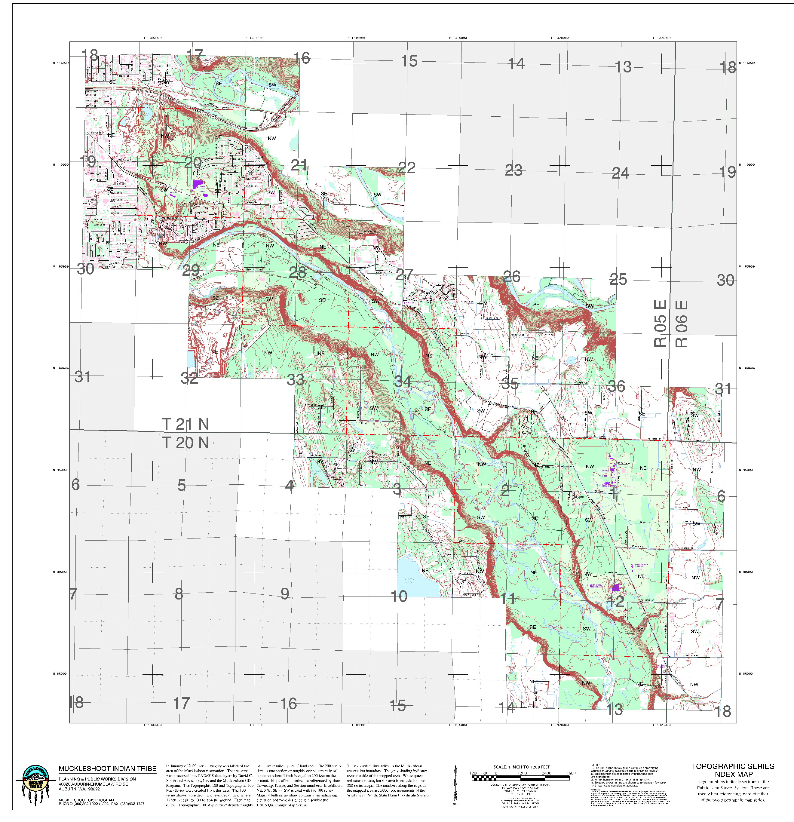
Tim Leach is the GIS Program Manager at the Planning and Public Works Division of the Muckleshoot Indian Tribe. While at the meeting, he took me for a tour of his operations. Tim has been working on a planimetric and topographic base map project for the past two years. The Tribe acquired high resolution aerial photographs of their reservation land and created maps consisting of 135 data layers. Their reserve land is six square miles in total, and are similar to US Geological Survey (USGS) topographic map standards. “The reason why we did this was so that other professionals would understand these maps,” said Tim.
|
|
This project was just one out of many discussed at the meeting. I found it fascinating how diverse the tribes’ projects are, from Elissa Fjellman who is mapping cemetery plots at the Swinomish Indian Tribal Community to certified training with Willy Lynch at the Lummi Indian Nation. As well as Todd Zackey who is working on a mountain goat habitat model at the Sauk-Suiattle Indian Tribe and Marilu Koschuk who is liaison with government and tribal groups at the Northwest Indian Fisheries Commission. Everyone was very open and happy to share highlights of their work with others, as well to gather ideas for future initiatives.
As Ian and I were getting ready to leave at the end of the day, Tom extended an invitation to anyone from the Aboriginal Mapping Network to attend future meetings. Witnessing the open exchange of ideas and experiences reinforced the importance of networking as part of the AMN program – working to break the isolation, help people to learn from each other, work together and find solutions to common problems. A future gathering will hopefully be held at the Lummi Indian Nation in Bellingham, Washington in order to accommodate some of the bands in the Lower Mainland area.
For more information on the North West Tribal GIS User Group, please contact:
Tom Curley
Suquamish Tribe GIS Program Manager
E-mail: curley@silverlink.net
Telephone: (360) 394-5337